🎮 Game Modes
Our geography games offer a variety of game modes, letting you explore maps by clicking, typing, or even flying!
Show All: A learning mode where all locations are visible on the map, helping you study and familiarize yourself with them.
Pin (very easy): Works like 'Pin,' but hovering over a location reveals its name for assistance.
Pin (easy): Similar to 'Pin,' but highlights three possible locations, making selection easier.
Pin: Click on the exact location you're prompted to find.
Pin (hard): Like 'Pin,' but locations revert to their original color after being clicked.
Pin (no borders): Like 'Pin,' but without visible borders, making it more challenging.
Pin (flags): Like 'Pin,' but only a flag is displayed—no names.
Multiple Choice: Choose the correct option from four choices by clicking or pressing keys 1–4.
Type Random: Type location names in any order; they’ll be highlighted on the map as you go.
Type: Type the name of the highlighted location.
Fly: Use arrow keys or WASD to steer, and press the spacebar for a speed boost.
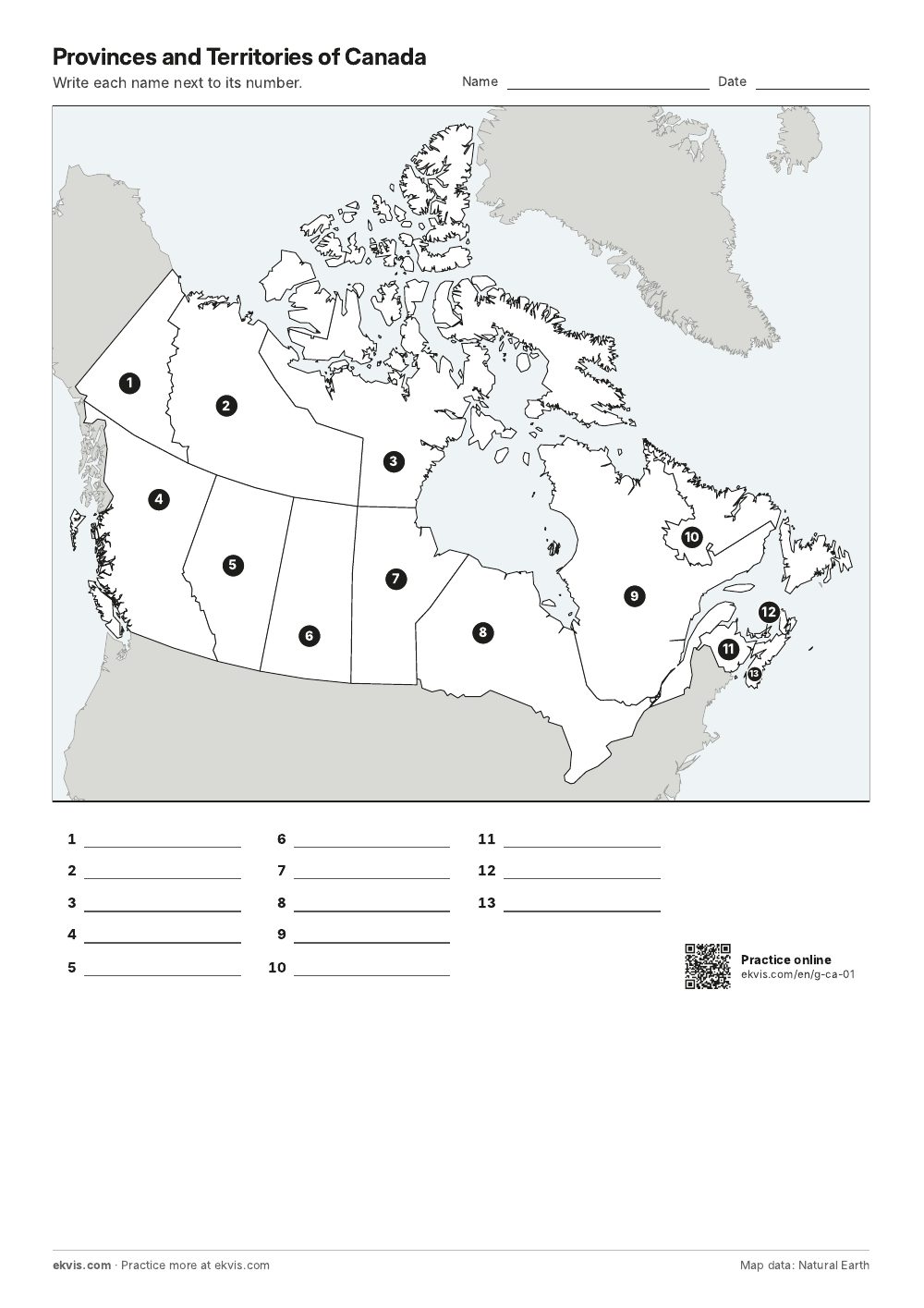 Worksheet
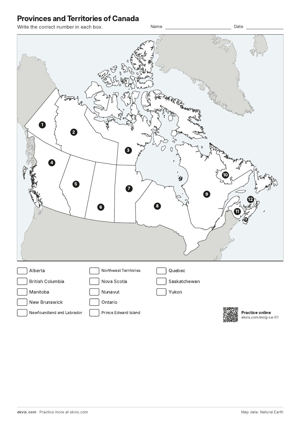 Word Bank
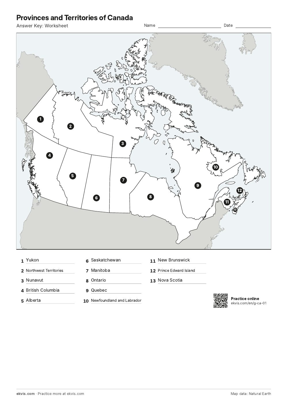 Answer Key: Worksheet
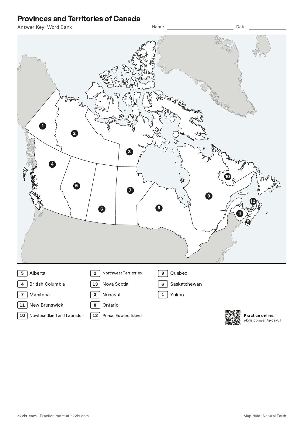 Answer Key: Word Bank